Where to get maps of the Borders:
Border Country map by John Bartholomew dated 1903; https://maps.nls.uk/view/74466995
Moffatt, Hawick, Border map by Bartholomew & Co. dated 1903; https://maps.nls.uk/view/97130731
Roxburghshire map by John Thomson dated 1777- ca. 1840; https://maps.nls.uk/atlas/thomson/479.html
Roxburghshire or Tiviotdale by Matthew Stobie dated 1770; https://maps.nls.uk/joins/671.html
Liddesdale by Blaeu and Pont dated 1654; http://biblio.unibe.ch/web-apps/maps/zoomify.php?pic=Ryh_1904_10.jpg&col=ryh
The North Part of ye Shire of Roxburgh and the Shire of Selkirk called also Etterick Forrest by H. Moll dated 1745; https://maps.nls.uk/counties/rec/248
Surname Identifying Maps:

The Reiver Families of the Borders surname map by Map Art; https://stkildastore.com/Clan-Items/Home-and-Art/Maps/The-Reiver-Families-of-the-Borders
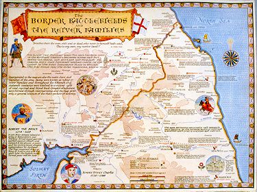
The Border Battlefields and Reiver Families by Go Britain dated 2000; http://www.go-britain.com/html/borders_map.htm

Border Heraldry Art of the Borders by Steven Smith; https://www.painters-online.co.uk/gallery/art-view,picture_200754.htm
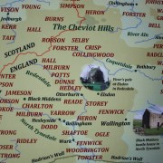
Tangled Worm Border Reiver Surname Map; https://tangledworm.com/product/border-reiver-surnames-of-the-anglo-scottish-border/

The Waugh Family Border Reiver Map; http://waughfamily.ca/UlsterScots/index.htm
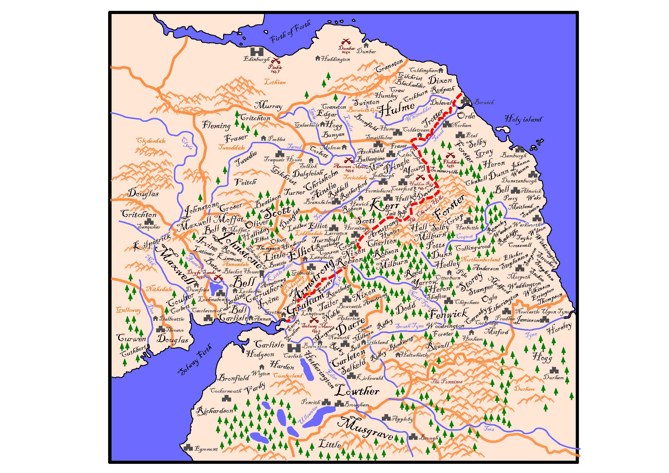
This map was created by Joseph Bell and is displayed here with his permission (2023)